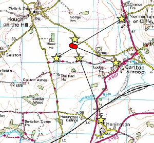
Ground level view looking north-east from near the Lodge Farm turbine site, towards Caythorpe Court, Normanton village and church
Map of affected area (turbines will be just south of the 74m spot-height on the Hough-Carlton  Scroop road). Panoramic View from ground level near the turbine site (pan & zoom controls below) Illustrative views of turbines from various points - click on thumbnails or the stars on the map to view From Carlton Scroop Church From Hough Lane From Viking Way From Honington From Howdale Farm